If you venture to the Tropojë region in the far north of Albania you may well end up in Valbonë. More an eye-pleasing scatter of wooden houses along a fast-flowing river than a real village, Valbonë graces the eastern flank of a high Balkan ridge that continues into Montenegro just a few kilometres to the north. These are the same ‘Accursed Mountains’ (in Albanian Bjeshkët e Namuna ; in Serbian Prokletije) that Robert Carver wrote about in his eponymous 1990s travelogue, spinning tales about derring-do among a people he did not seem to regard very highly. The British traveller Edith Durham also wrote about life in these mountains almost a century earlier in her more sympathetic account, High Albania.
Reaching this isolated region was problematic until recently. Back in the 1990s, it was also perhaps ill-advised. Bajram Curri, the only town of any size here, was then an important supply centre for the Kosovo Liberation Army, which at the time was highly active over the border in Serbia-controlled Kosovo. (From Bajram it is just 17 kilometres along a minor road to the border with Kosovo). James Pettifer, in his fascinating but sometimes partisan Blue Guide to Albania & Kosovo (3rd edition published in 2001), advises putting up for the night at the town’s sole hotel only “in extremis” adding that the hotel “is also used as the local mortuary, and on occasion corpses may be seen in the hall.” These days, the atmosphere in Bajram Curri is more somnolent than warlike: a place of old men in egg-shaped qeleshe hats sipping coffee by the roadside, of vegetable-laden market stalls and minibuses touting for passengers.
Reaching this isolated region was problematic until recently. Back in the 1990s, it was also perhaps ill-advised.
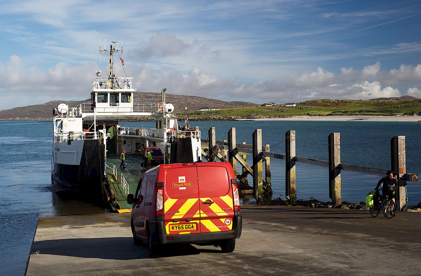
If security has much improved then so too has accessibility, and a new road leads west along the Valbonë Valley from the regional capital. The best way to arrive here from the south is by way of one of the car ferries that ply the length of Lake Komani, a journey worth taking for the exquisite scenery alone. The ferry terminal at Fierzë is but a taxi ride away from Bajram Curri, and Valbonë is just another half an hour further along the sleek new tarmac.
We arrive at our Valbonë guest house in time for a late lunch and afterwards take an afternoon walk along the river. The valley’s natural bounty is immediately apparent, with dragonflies quartering the air and butterflies rising from wayside flowers at every step. A horned viper is spotted crossing the path, a lizard locked in its jaw, and our stride becomes immediately more measured as a result. After a while we climb a hillside and the valley is revealed beneath us, the river a glistening thread in a bed of boulders beside which farmers have cleared small rectangles of land to grow onions and potatoes.


