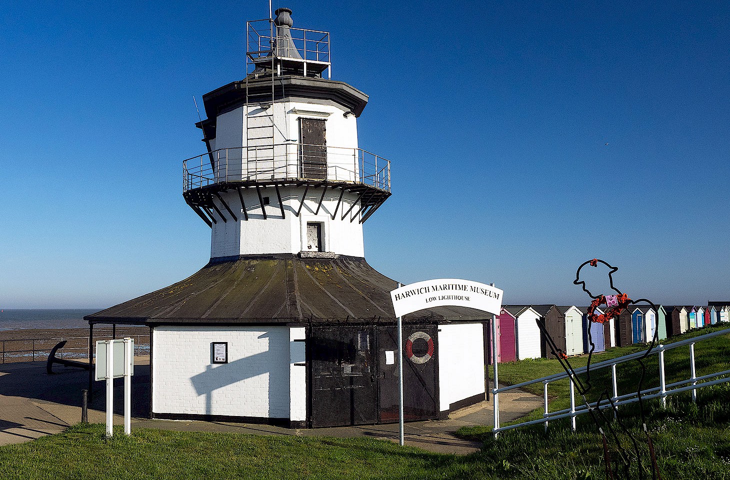
Along the great breakwater known as the Noorderpier, the fishermen wait in silence. It is just a matter of time. This long sea wall, jutting out into the North Sea, is a prime spot for sea bass, one where the inevitable patience that goes hand in hand with angling is rewarded by fine views of the passing ships. There goes the Athos, heading into Rotterdam and on up the Rhine to Duisburg. A few minutes later in comes the Stena Hollandica, making for her regular berth at Hoek van Holland after a daytime crossing from Harwich on England’s east coast. “After the Hollandica, that’s usually a good time for the sea bass,” explains one of the fishermen.
The story of Hoek van Holland is intimately connected to Rotterdam’s status as a premier-league port. During the 18th century, the gradual silting up of river channels and estuaries threatened to undermine Rotterdam’s maritime trade. Ships were becoming larger too and that meant that mariners were justifiably apprehensive about the risk of grounding on the shifting sandbanks on the approach to the wharves at Rotterdam.
By the 1860s, the progressive extension of the railway towards the Zeeland coast at Vlissingen further threatened Rotterdam’s port status. Deeper waters at Vlissingen offered easier access for a new generation of steamships. Dutch prime minister Johan Thorbecke was actually much in favour of letting the port trade at both Rotterdam and its great rival Amsterdam wither. Thorbecke argued that the country’s maritime hubs be transferred to Vlissingen in lieu of Rotterdam and to Harlingen (on the Friesland coast) as a replacement for Amsterdam.
The long-standing commercial rivalry between Amsterdam and Rotterdam was briefly put aside as both cities protested at being by-passed thus. In the 1860s, the Suez Canal was under construction, and the two premier Dutch ports aspired to a key role in the new global order. Mercantile and shipping interests in both cities erupted in anger. As a result, new canals were built to link the two traditional ports to the sea. The Nieuwe Waterweg (New Waterway) opened in 1872, giving Rotterdam a second chance in the race for maritime trade. Four years later the opening of the Noordzeekanaal (North Sea Canal), linking Amsterdam to the North Sea, gave Rotterdam’s northern rival a new lease of life. Both canals required breaching the sand dune barrier which lines almost the entire coast of Holland.
150 years ago, on 9 March 1872, the Great Eastern paddle steamer PS Richard Young weighed anchor in Rotterdam. Bound for Harwich, it was the first vessel to sail down the New Waterway towards the North Sea.