Dear fellow travellers
We map our way around Europe using antique guidebooks, just as we map our way through the year using long-obsolete ecclesiastical calendars. So we are in a small minority of Europeans who happen to know that today, 16 January, was long observed as the Feast of St Marcellus. Quite what happened to St Marcellus we don't know, but it seems he was ousted from his January perch by this or that papal reform sometime in the last century.
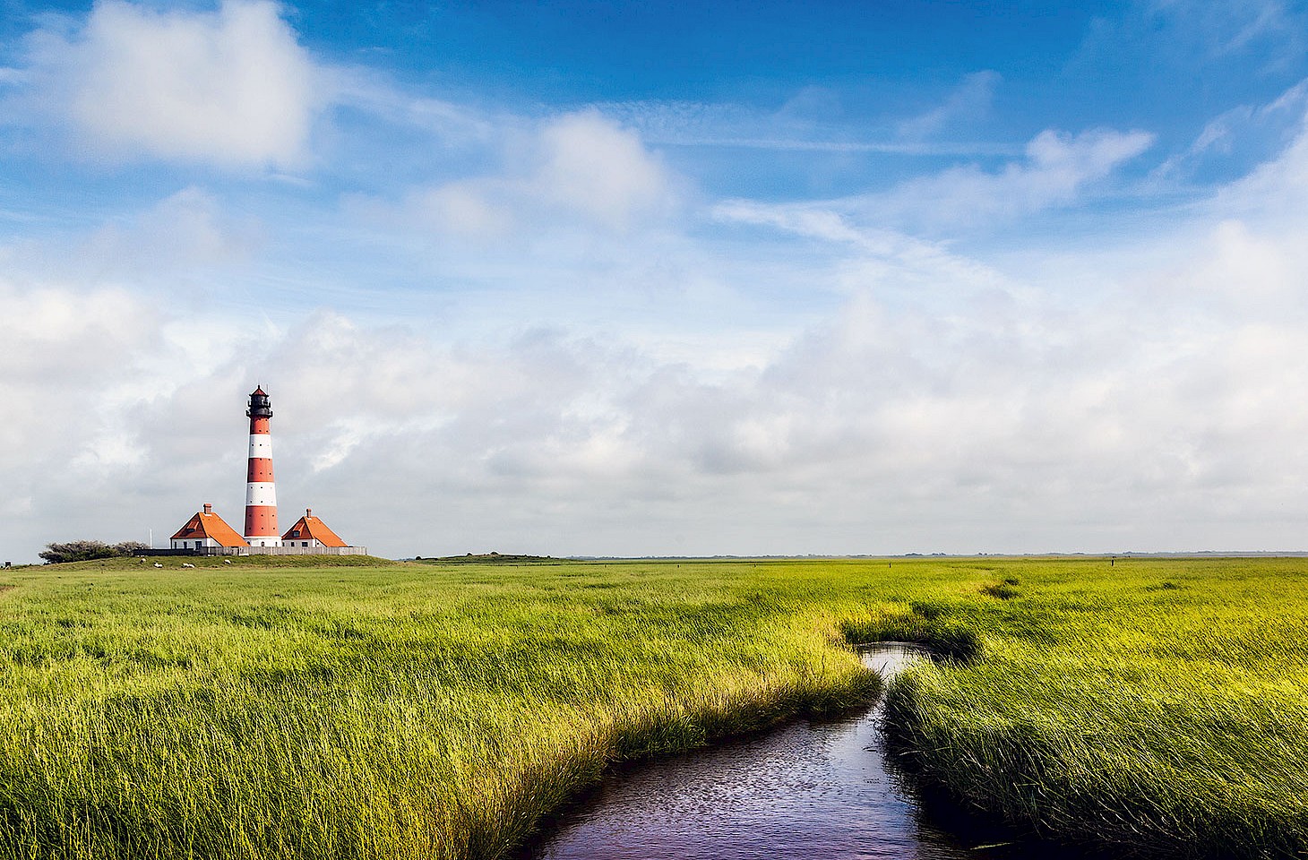
We have been staying for a spell on the North Frisian Islands, a part of Europe where locals have good cause to remember St Marcellus Day. For it was on this day in 1362 that North Sea coastal geography was reshaped by the most terrible flooding. A fierce Atlantic storm caused inundations in the Low Countries, throughout the Frisian Islands and north along the coast of Jutland.
The Frisian Islands are today variously Dutch, German and Danish territory. And across that lovely spread of islands - vulnerable, sandy streaks of land amid the sea - those with a sense of history will today recall the time, 650 years ago, of the Grote Mandrenke ('great drowning of man'). Thousands lost their lives as entire communities were overwhelmed by the sea.
A series of poor harvests and the ravages of disease had led to some neglect of the dykes that protected these fragile islands from inundation. But even the best-maintained dykes were no match for the storms of St Marcellus Day. The town of Rungholt succumbed to the waves. Travellers taking the ferry out to the island of Pellworm from the German mainland travel over the spot where the remains of Rungholt now lie far below the waves.
Every January we walk through delicate coastal landscapes in the North Frisian Islands. It is an area that we know well. Even in the years that we have been exploring the region, we have seen islands disappear from the map. One such is the Danish North Frisian island of Jordsand, still used for seasonal grazing in the 1990s, but now a little fragment of cartographic history. We wrote about the fate of Jordsand in issue 26 of hidden europe magazine.
Exploring the Frisian islands, we are often struck how humanity's claim on this terrain seems tenuous. It is a provisional tenure that must forever be renegotiated with the elements. Last week, ferocious storms swept over the region. Farmers and their livestock hurried to the higher ground (known as a terp in Frisian or warft in German). No lives were lost. A happier outcome than on the Feast of St Marcellus in 1362, when over 30,000 Frisians were swept to watery graves.
Nicky Gardner and Susanne Kries
(editors, hidden europe magazine)


